Puslumcw (Wet Ground) Wetland & Riparian Survey
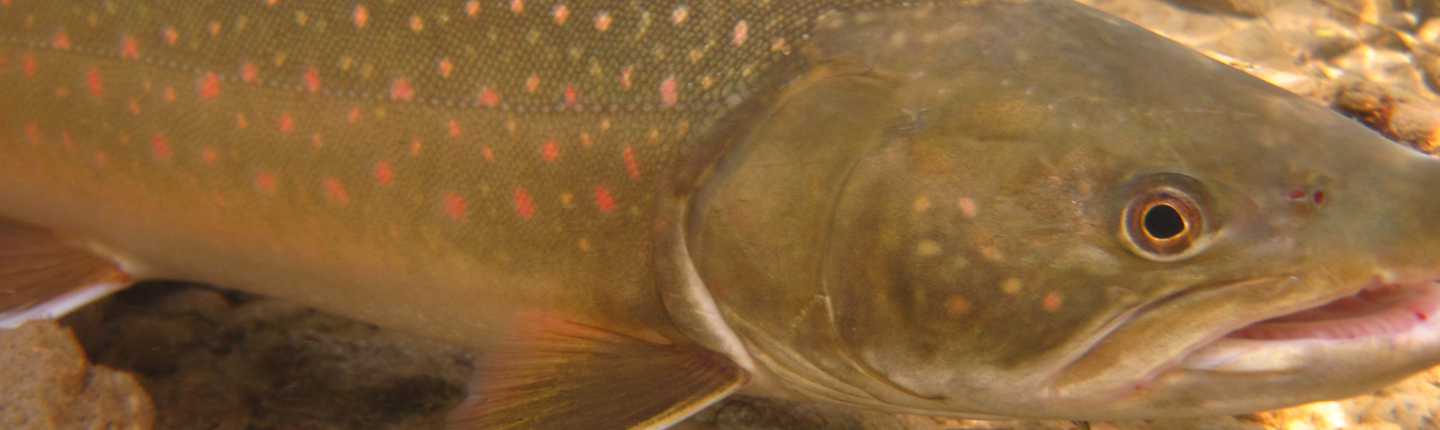
T’it’q’et and Sekw’el’was are partnering on the púslum̓cw survey within their traditional territories. The púslum̓cw survey will focus on identifying, mapping and describing the wetlands and riparian areas within a 15-kilometre radius to the west and south of the Seton/Fraser confluence and five kilometres north, up to an elevation of 800 metres above sea level (MASL). The project’s goal is to establish the extent and health of the wetlands and connectivity of the riparian areas in the region, to see if they can be conserved to mitigate the wetlands and riparian areas lost, due to Bridge/Seton hydro operations. Species expected to benefit include: Coho, Bull Trout, Western Toad, Columbia Spotted Frog, and Interior Western Screech-Owl. This project will result in 79,615 hectares of land being surveyed and mapped, for occurrence of wetlands and significant riparian areas and targeted areas ground-truthed to provide additional information on the function and health of the system.
Wetlands and riparian areas will be ranked by attributes based on survey results. This information will assist in future categorization of the areas into Category 1 (natural riparian or wetland habitat that could be conserved/secured/managed for future impacts), Category 2 (disclimax or degraded wetland or riparian habitat leading to possible restoration and/or creation of wetlands), and Category 3 (created riparian or wetland habitat resulting from water impoundments, diversions or other artificial disturbances that require active management to maintain productivity and function (Riparian and Wetlands Action Plan, Pg 13)). St’at’imc, local land-owners and youth who participate in the project will gain useful knowledge and understanding of the importance of wetlands/riparian areas that may lead to enhanced stewardship of these critical ecosystems. Sekw’el’was and T’it’q’et will gain the information needed to make informed land-use decisions that benefit fish and wildlife, and will have built capacity in the community to do so.
Final Report: Executive Summary
“Riparian and wetland areas are the most diverse and biologically rich terrestrial ecosystems in BC and are considered highly valuable from an ecological standpoint. They are often critical in terms of maintaining function and structure for natural systems” (BC Hydro Fish and Wildlife Compensation Program 2011).
This project was initiated by the St’at’imc communities of T’it’q’et and Sekw’el’was. The St’at’imc people have lived and worked in the Lillooet region for thousands of years, and are the caretakers of ecological, spiritual, and community values in the area. In 2015 T’it’q’et and Sekw’el’was began investigating how wetlands in the St’at’imc territory could be protected from further degradation and loss resulting from hydroelectric, agricultural, and residential development.
As in many landscapes around the world, the wetlands of the Bridge/Seton Watershed are rare yet extremely valuable habitat features. Historical and contemporary loss of wetlands to hydro projects, agriculture, and other human uses, has increased the rarity of these features in this watershed. As such it has become necessary to inventory our wetlands in order to better understand their health and function, and to prioritize the protection and conservation of these features during ongoing land management.
Click the provincial database link below to read the full final report for this project.