Kootenay Connect: Riparian Wildlife Climate Change Corridors
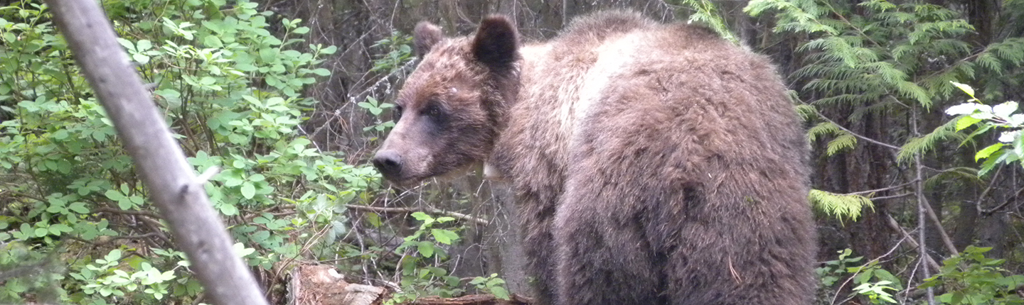
The Kootenay Connect: Riparian Wildlife Climate Change Corridors project, led by Birchdale Ecological, will identify and develop conservation strategies to identify, protect, and improve management for 12 important wildlife corridors and promote landscape connectivity across the Columbia River Basin. This project will integrate data about large carnivores (Grizzly Bears), ungulates, and other wildlife species with large riparian-wetland complexes that link critical valley bottom and upland habitats at a region scale. Research shows riparian-wetland systems are biodiversity hotspots and climate refugia that also act as wildlife linkages across human-settled valleys.
Update: Wildlife corridors mapped to increase climate resilience
Twelve wildlife corridors in our Columbia Region have been identified as part of the Kootenay Connect: Riparian Wildlife Corridors for Climate Change project. It aims to establish landscape-scale ecological connectivity in all three of the Columbia’s sub-regions to conserve biodiversity, integrate conservation efforts across ecosystems, and promote climate change resilience.
Since 2019, eight corridors have been analyzed and mapped, and work in 2021–2022 will focus on four more corridors: South Country-Koocanusa, the Elk River Valley, Central Selkirk’s Retallack Corridor, and the Salmo River Valley. In total, 12 corridors in the region will be completed. An extensive GIS database has been developed to map carnivores and other wildlife, species at risk, riparian ecosystems, and conservation opportunities for riparian and wetland habitat on private land. On-the-ground conservation actions have been initiated in several corridors.
Led by Birchdale Ecological with funding from the FWCP, this project builds partnerships—it involves more than 80 stakeholders committed to developing solutions for local landscapes. It also stimulated additional funding of $2 million over four years through the Canada Nature Fund to carry out on-the-ground conservation actions in four Kootenay Connect corridors. Supporting work to assess the connectivity and function of upland habitats is a priority action in the FWCP’s Columbia Region Upland & Dryland Action Plan.
Final report: executive summary
Riparian and wetland systems are biodiversity hotspots and climate refugia that also act as wildlife linkages across human-settled valleys. In the Kootenay region of BC, protecting riparianwetland complexes is also the best opportunity for re-establishing fragmented grizzly bear populations and potentially other wildlife species. A new initiative called “Kootenay Connect” integrates large carnivores, ungulates, and other wildlife and species at risk occurrence data with large riparian-wetland complexes mapped in Geographic Information Systems (GIS) to identify critical habitats and connectivity corridors at a regional scale.
Our vision for Kootenay Connect is to add the landscape-scale connectivity dimension to conserving biodiversity; integrate conservation and management efforts across ecosystems and jurisdictions to promote climate change resilience; and help kick-start connectivity conservation collaboratives in the Kootenays where they are not yet occurring.
Click the provincial database link below to read the full final report for this project.