Mackenzie Nature Observatory: Mugaha Marsh Banding Station
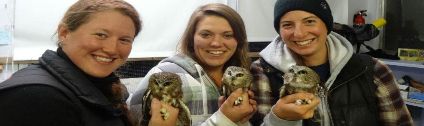
Mackenzie Nature Observatory (MNO) is one of 25 stations that make up the Canadian Migration Monitoring Network, which monitors birds using and migrating through Mugaha Marsh from Northern B.C. and Yukon during fall migration between July 19 and September 23. Mistnets are open for six hours daily. Captured birds are extracted from the nets and a small metal band with a unique number is attached to them, making it possible to identify each bird, if recaptured or found again. General observations of birds are documented throughout the day based on daily one-hour census information collected. From this data, an estimated total of banded, recaptured, censused, and observed birds is calculated, computerized and submitted. Bird migration monitoring provides baseline information on avian populations, which is important for bird conservation. MNO captures birds migrating from the north, which includes Bird Conservation Region 4. The fall 2016 season will add to the database, and long-term data is important for assessing the status of bird populations.
With continual changes to the landscape from insect outbreaks, forestry, mining and gas pipelines, the habitat for birds is being altered. As the forestry blocks that were logged a few years ago near the free-to-grow stage, there is often deciduous growth that birds do well in, but at this stage herbicides are often used. In addition, impacts from climate change may alter bird migration patterns and this long-term data set will help monitor any changes. The new pipeline routes that are proposed will develop new east-to-west corridors and may bring in new species. MNO is located in the overlap zone for many eastern and western species and first records for the area are often documented here.
The project involves volunteers and visitors, and has increased the public’s knowledge of birds in the area. This long-term data collection, particularly of boreal forest bird species and migration counts, are key to assessing changes in populations and trends, which can be useful indicators of Northern B.C. forest health.