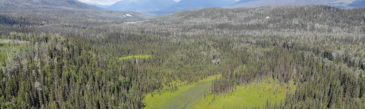
Predictive Riparian Areas and Wetland Mapping of the Williston Drainage Basin
The overall objectives of this project are as follows:
- Complete pre-typing and attribution of all riparian and wetland ecosystems, for FWCP’s Peace area of interest at a 1:20,000 mapping scale;
- Identify and define the wetland and riparian units to be mapped;
- Review existing available ecosystem mapping data to determine which, if any, of the existing data sets are suitable for inclusion in the riparian/wetland mapping;
- Review existing air photo satellite imagery for quality and extent of coverage;
- Conduct quality assurance on all aspects of the TEM projects internally;
- Perform all work to RISC TEM standards and guidelines;
- Provide all results in the required format for storage in the corporate data management environment, as specified by the RISC TEM and TEI data submission standards.
Read more about the project here:
Alaska Highway News
This is a multi-year project. See Phase 2.
Final Report: Executive Summary
The Ministry of Environment signed a ‘Letter of Agreement’ with the Fish and Wildlife Compensation Program to map wetland and riparian areas within the FWCP-Peace Region (FWCP-Peace). Ecosystem mapping products lacked coverage, and were cost prohibitive to map the remainder of the area. Therefore in 2016, a pilot study was conducted to assess the feasibility of machine-learning algorithms to map riparian areas and wetlands in the area. A ‘Random Forest’ model approach was used to map riparian areas and wetlands across the FWCP-Peace at a 25m pixel resolution using 48 mapcodes. The resulting product is superior to publicly available Terrain Resource Information Management (TRIM) wetland polygons as it is more consistent and provides information on wetland and riparian type and distribution. Fieldwork was conducted in the summer of 2017 to support detailed site level inventories and verify model accuracy. The model reliably differentiates wetlands, Terrestrial-uplands (Hereafter denoted “Upland” or ”T”) and water at the scale of the FWCP-Peace and identifies significantly more wetland and riparian area than TRIM. Four classes of wetlands and three riparian classes were differentiated at a moderate level of reliability. The model output was then used to conduct spatial analysis of wetlands related to biogeoclimatic zones, geology and disturbance.
The project has delivered a 7.2 million hectare wetland-and-riparian mapping product for the FWCP-Peace. Importantly, methods and products were specifically designed for openness and transparency, thereby increasing value through further use and extension opportunities.
Further considerations for extending the product to a wetland management context, as well as data and model improvements as part of continuous improvement cycle are presented herein.
Click the provincial database link below to read the full final report for this project.