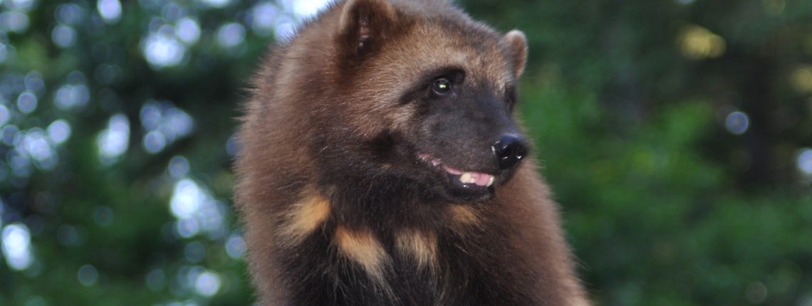
Wolverine Harvest Sustainability in the Kootenay Region
This project will contribute scientifically to inform decision-making on sustainable management targets for a species-of-interest in the Kootenay region. Wolverines are a species of management focus for the B.C. Ministry of Forests, Lands and Natural Resource Operations due to uncertainty about sustainability of legal trapping and harvest. Spatial capture-recapture models will be used to estimate wolverine abundance using multi-year data collected in the B.C. Rockies. Harvest rate will be calculated for the south Rockies and Flathead population units, using these densities and the recorded kill.
This project will gather necessary information to help the B.C. Ministry make science-informed decisions and actions to inform resource management practices.
Final Report: Executive Summary
The Canadian Crown of the Continent (CCoC) is one of three zones where wolverines can move between Canada and the US, providing the last links for recruitment and ultimately gene flow to the highly fragmented population in the US Rocky Mountains. Wolverines in this region are affected by two of the three landscape stressors (land use and highway barriers). In 2016, we completed a 3-year noninvasive sampling effort in the CCoC, which was a key part of a larger 6- year effort that surveyed the central and southern Canadian Rockies. Our 2016 objectives were to complete the final survey of wolverines in the CCoC. These data will then be used to 1) estimate wolverine abundance and density; 2) assess the sustainability of wolverine harvest in the BC Rocky Mountains 3) examine the relationship between human disturbance and landscape alteration on wolverine density and distribution. Our research has been designed to inform key actions for the Upper Kootenay Ecosystem Enhancement Plan for Upland and Dryland Areas by informing the BC government on wolverine abundance, distribution and habitat connectivity needs including areas critical for gene flow and identifying areas of conflict with transportation infrastructure. Our assessment of sustainability of trapper harvest of wolverines will help support BC government actions to maintain and restore wolverine populations in the Upper Kootenay watershed. Our research results will contribute to informed decision making for managing wolverines and protecting their habitat.
Our 2016 study area was located in southeastern British Columbia and focused in two main areas: the Elk and Flathead Valleys. We surveyed wolverine occurrence using a systematic sampling design consistent with our previous wolverine research. We used a noninvasive hair trap and a remote camera aimed at the hair trap to sample each site. Once sites were set, three replicate monthly visits were conducted to incorporate detectability into occupancy estimates.
Click the provincial database link below to read the full final report for this project.